
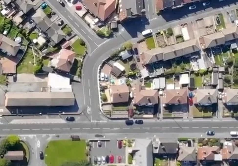
Brighton & Hove City Council has recently completed a review of its Traffic Sensitive Streets (TSS) network as required by central government.
The TSS network contains streets or roads where:
• the local authority estimates traffic flow to be greater than 500 vehicles per hour per road lane (not including bus or cycle lanes)
• a two-way road with single lane(s) of less than 6.5m wide, has a traffic flow in both directions of more than 600 vehicles per hour
• more than 25% of the traffic flow in both directions consists of heavy commercial vehicles
• the traffic flow in both directions includes more than eight buses per hour
• the street is within 100 metres of a major signalised junction, gyratory or roundabout system
• there is a pedestrian flow of at least 1,300 people per hour, per metre width of pavement
The list and map of streets that meet these criteria in Brighton & Hove is included in the attached documents (Click here for the list or here for the map). The TSS network has been developed using the above government criteria and government guidance, available to view here: Traffic Sensitive Streets Guidance Note (GeoPlace)
What does this mean?
BHCC wanted to give you the opportunity to review our TSS network.
For those carrying out roadworks the TSS definition affects how much notice they are required to give the council and encourages them to avoid roadworks at the busiest times.
BHCC would like to hear if you think other streets should be included or removed from the list (subject to the government criteria noted above).
How to respond
This consultation runs from Wednesday 18th February to Thursday 19th March. Please send your responses to 1445LSG@brighton-hove.gov.uk. When responding please ensure you identify the road name and the associated criteria to justify the omission or a need to include.
If it is not possible to email responses, they should be sent to:
Ellie Noble, Network Coordination, G14, Hove Town Hall, Norton Road, Hove, BN3 3BQ or let BHCC know if an additional format is needed.
The deadline for receipt of responses is no later than Thursday 19th March 2026. BHCC cannot guarantee that responses received after this date will be considered.
Key terminology explained:
What is a Unique Street Reference Number (USRN)?
The USRN is an 8-digit unique identifier for every street across Great Britain. Data is collected in a consistent way across local authorities. Please note that due to the way that USRNs are mapped, some private roads may appear on the map in error. In addition to the map, the proposed TSS street list is available in the attached spreadsheet.
Who are GeoPlace?
GeoPlace is an organisation that oversees the production and maintenance of national address and street gazetteers. GeoPlace have produced the government guidance for Traffic Sensitive Streets.